March 26, 2013
Chilnualna Falls, Yosemite National Park
Total distance walked: 8.2 miles
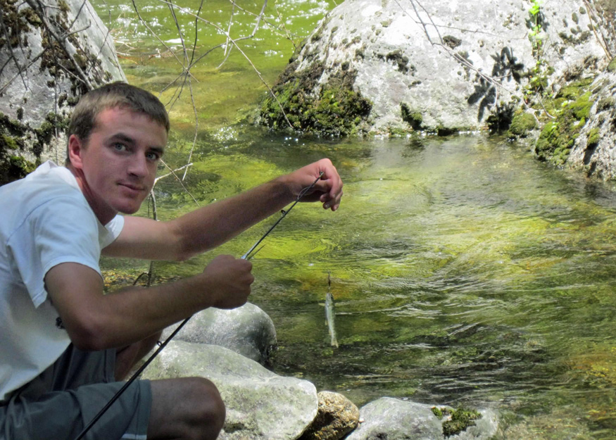
Annually since 2010, Andrew and I have embarked on a hike along the Chilnualna Falls trail, situated at the southern tip of Yosemite National Park, close to the town of Wawona. We’ve hiked the trail in spring, summer, and fall. July was particularly hot and teeming with bugs. On that occasion, Andrew brought along his fishing gear and spent time fishing in the creek. It was also the only time we saw wildflowers.
We’ve trekked there and back in November, when darkness fell early, creating an eerie stroll through the woods; and again in April, while snow still blanketed the ground. This March marked our earliest hike, and surprisingly, there was no snow, even at 6,500 feet.

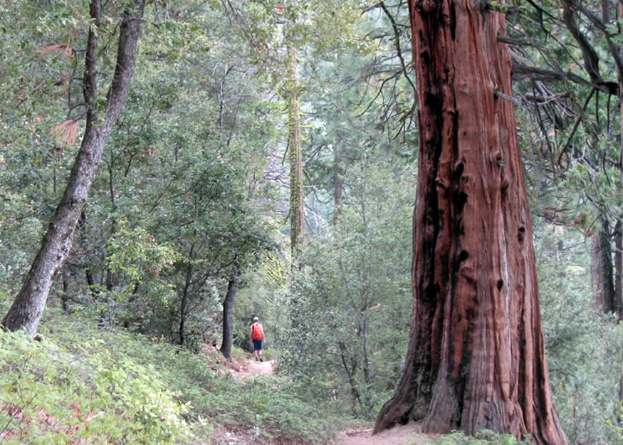
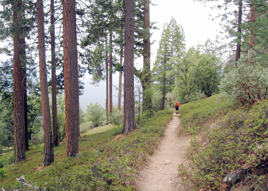
We started our ascent to the cascading waterfall. The waterfall cannot be seen in its entirety; only sections are visible at a time. The initial quarter-mile of the trail was quite narrow and strewn with rocks. We followed granite boulders shaped into massive steps that guided us to the base of the Lower Falls. An easier pack trail was an option, but choosing it meant we would forgo the view of the Lower Falls.
From Lower Falls, a switchback trail took us to another narrow mountainside strewn with slippery oak leaves and pine needles. After navigating these two precarious sections, the remainder of our hike through the wilderness was enjoyable.
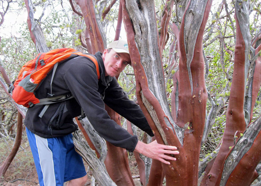
The path led us higher, winding through a dense growth of towering manzanitas with ruby-colored trunks.
The Stellar’s Jays welcomed us with their strident squawks while the trail meandered through the forest, guiding us across stretches of mountain misery, also known as bear clover.
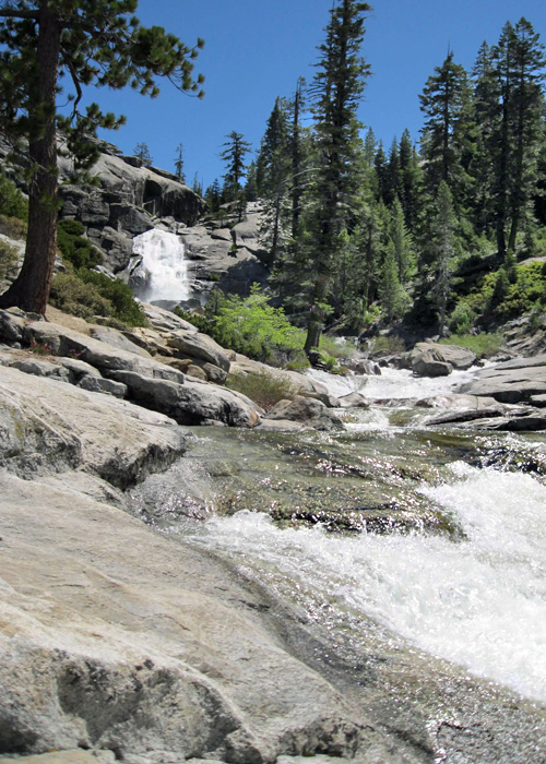
Chilnualna Creek was constantly audible. We traversed three shallow streams, one of which had a trickling waterfall directly on the path.

A sporadic drizzle descended from the overcast sky as we navigated a series of twenty long switchbacks. En route, we were graced with vistas of Wawona Valley, Wawona Dome, and fleeting views of the upper cascades.


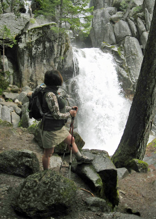
We ascended additional steps hewn into the cliffside until we arrived at the edge of the most expansive section of the falls.

Before starting our hike, I requested my adventurous son to indulge me by staying away from the waterfall at Upper Falls, where he had ventured too close in previous years. The water cascades down from a height of 240 feet there.

After lunch, we resumed our ascent, climbing additional granite steps while the trail ran alongside the turbulent creek once more.
Toward the end, we navigated two additional switchbacks leading to a marked trail junction. In the distance, the final cascading segment of the waterfall was visible.

Even though we traverse this path annually, witnessing the same scenery, each journey offers unique experiences. At the trail junction, we had fun experimenting with the self-timer to take these photos.


I am fortunate to have this time with my son before he embarks on his own path in life, or before I reach an age where the 2,300-foot ascent becomes too challenging.
