April 15, 2013
Red Hills Recreation Management Area, Tuolumne County
Total distance walked: 7.5 miles
After discovering the Red Hills region online, I drove to the Gold Rush mining town of Chinese Camp in Tuolumne County to explore its blooming trails.
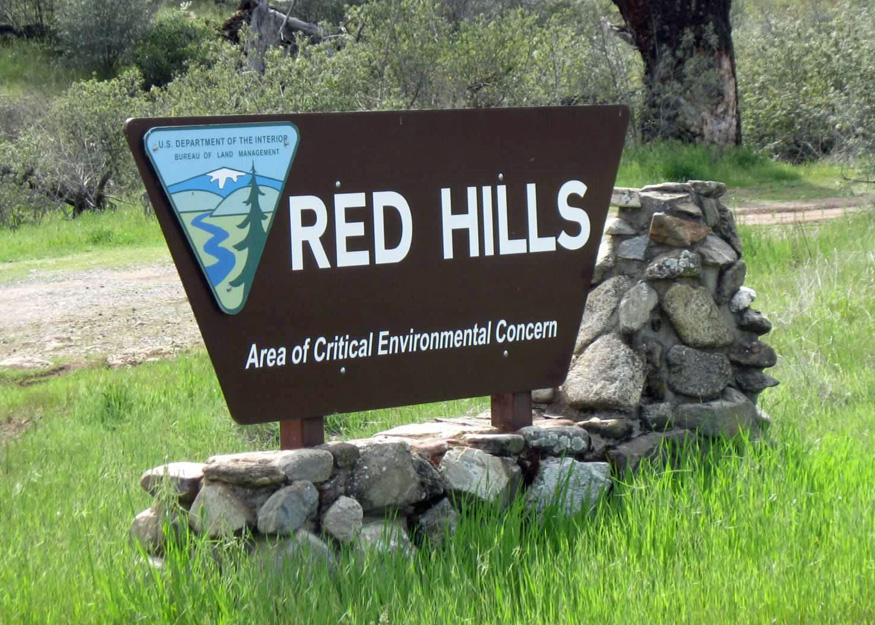
This area is marked as critically important for various reasons, including the protection of its unique plant called Brodiaea pallida (Chinese Camp Brodiaea) and the preservation of the bald eagle’s winter habitat.
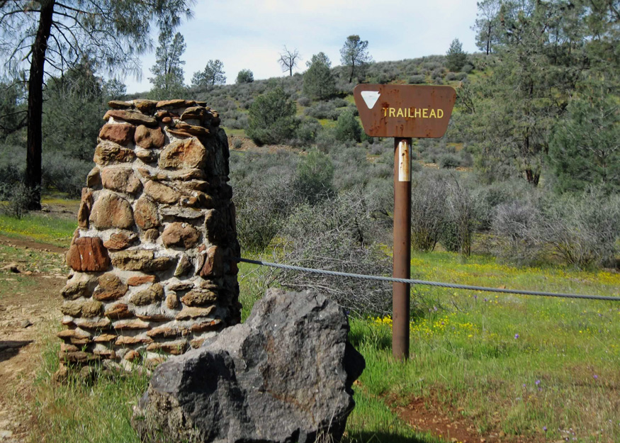
The large gravel parking lot on Red Hills Road was deserted except for two horse trailers. A nearby information board displayed an easy-to-read trail map. After studying the map and deciding on a route, I embarked on the trail.
Wildflowers appeared at once along the Old Stage Trail bordering Red Hills Road. Bright yellow agoseris similar to dandelions and lavender blue dicks speckled the uphill path. The trail, which might have been dusty, was wet and muddy in places. I visited the day following a rainstorm.


The area’s distinctive characteristic was the reddish hue of the rocks, a result of the oxidation of iron minerals within them. According to what I have read, the Red Hills contain “one of the largest exposures of serpentine rocks in the Sierra Nevada metamorphic belt.” I hadn’t anticipated trekking on such a rugged trail and was thankful that my hiking boots were specially designed to protect against such rough terrain.

The trail, completely open to the elements, veered off the busy country road and bordered the lush pasture of a private ranch. From there, it left behind any trace of civilization.


Indian paintbrush brightened the area. Dotted throughout were pale checkerblooms and Ithuriel’s spear. Patches of seep monkey flowers thrived alongside a mostly dry creek bed. As I followed the rocky trail, I noticed fresh tracks of an elusive horse.


I headed toward a trail that wound through foothill pines then noticed two horses with their riders nearby. They soon rounded a hill disappearing from view, which was the last glimpse I had of them that day. To get back on course with my intended route, I followed the Butterweed Trail back to the Old Stage Trail, passing by a murky watering hole for livestock and an area adorned with California poppies. The trail of horseshoe prints accompanied me until they branched off onto the Soaproot Ridge Trail, which I would traverse later.

My goal was to climb the rubble-covered hill before me. Upon reaching the summit, I found the trail smoother and observed the distinct tire tracks of a mountain bike imprinted in the soft earth.
Looking down on a vacant shack in the middle of nowhere, I had a magnificent view of the hills, which made it clear why the region is called “Red Hills”.
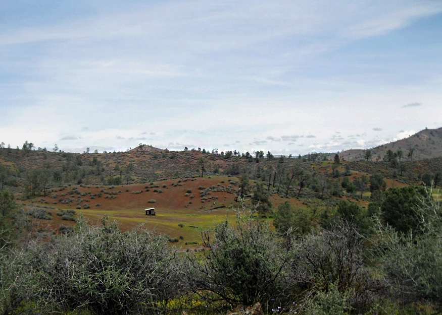
As I traversed the ridge, a distant view of Lake Don Pedro emerged through the trees.

Creamy yellow butterflies fluttered around, yet none paused long enough for a photo. I came to the realization that I didn’t know where I was going. Since it was already past lunchtime, I decided to eat as I made my way back down the hill.


Recalling that the Soaproot Ridge Trail looped back to the parking lot, I followed that path—the same one taken by the horses earlier that day. A large jackrabbit startled me when it jumped out of the brush and leaped back and forth across the trail. I continued walking until the path broke off into several directions. Unfamiliar with the terrain and struggling to distinguish a dry creek bed from the trail, I decided to turn back and retrace my steps from earlier that morning.
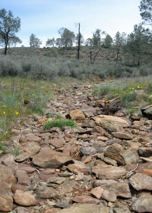
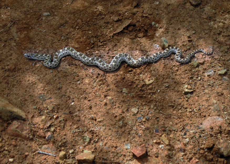
As the trail was quite rocky, I kept my eyes on the ground as I walked. I encountered a seemingly large gopher snake basking in the sun and felt relieved that I had avoided stepping on it. The snake remained still for a photograph before gracefully gliding back into the coolness of the grass.
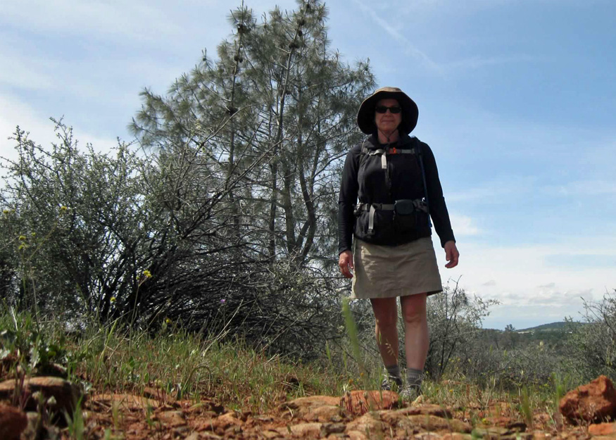
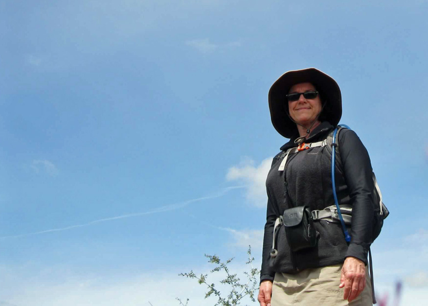
Taking selfies with my camera while exploring this new-to-me area was fun. The flora and fauna of the Red Hills region were delightful, and I am happy to have made the trip here. I look forward to returning next spring to continue my search for wildflowers.

