September 19, 2013
Yosemite Valley Loop Trail, Northwest Section, Yosemite National Park
Total distance walked: 2.5 miles
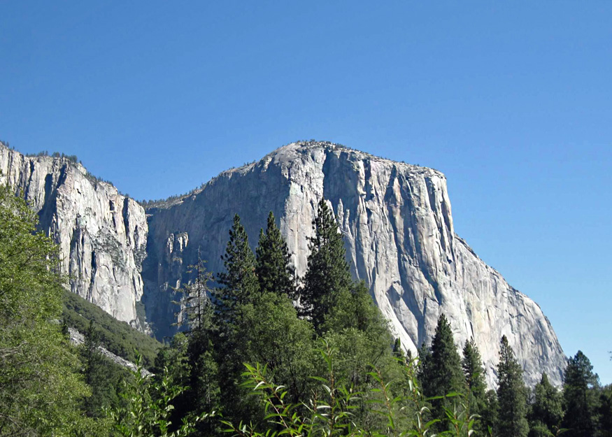
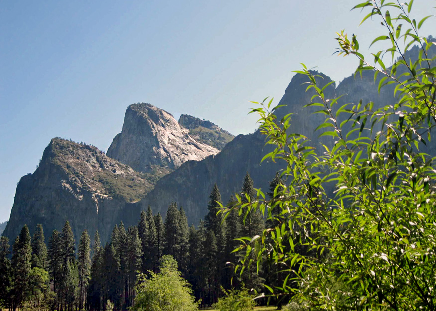
A gentle breeze blew high in the treetops as I began the last hike of summer 2013. I was going to walk over the Old Big Oak Flat Road (OBOFR) also known as the Rockslides Trail. It’s a hidden trail not found in the usual Yosemite guidebooks or on most maps. From the trail there are spectacular views of Bridalveil Fall, El Capitan, Half Dome and the valley below.
OBOFR is historic, which was the main reason I wanted to hike it. It was the second road to reach Yosemite Valley, completed in 1874. The old wagon road was a toll road to start, the average rate to cross being fifty cents per passenger. Finding it, however, was an adventure in itself.
Before leaving, I checked the Internet. One blog gave photos and landmarks such as: go beyond the “wood lot” with a picture of a big pile of cut wood. Another guide said, “a large number of logs are piled up near a small parking area.” Both said to find road marker V9. I found marker V9 but did not find the aforementioned logs or wood lot.

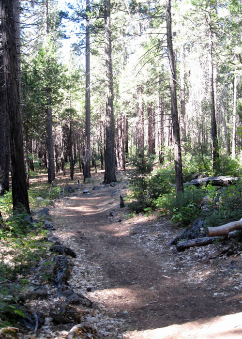
Beyond marker V9 in the woods lay a walking trail, a segment of the Valley Loop Trail. I ventured westward on the shaded path for a brief stretch before arriving at Northside Drive and the Pohono Bridge, realizing then I had taken the wrong direction. Although this trail is located in the busy valley, I didn’t see a soul.
Upon reaching Northside Drive, I turned back, passed my initial starting point, and proceeded to walk for more than a mile.

I saw large piles of berry-filled bear scat on the trail. Weaving my way through the forest I could hear the trees creek and see the cars on Northside Drive.

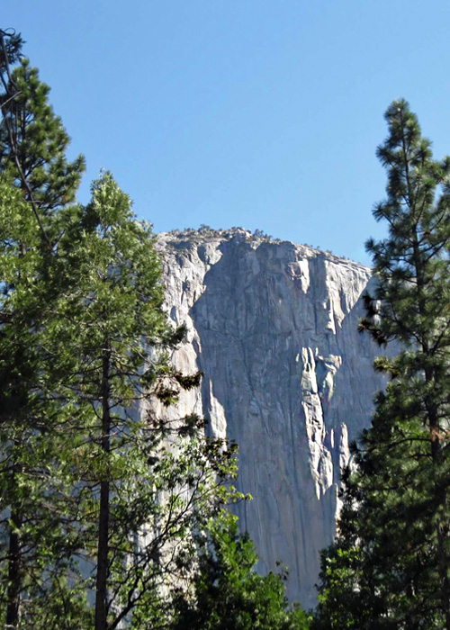
As I approached the granite monolith, El Capitan, I kept my eyes peeled for the unmarked trail up to OBOFR.
The late summer sun filtered through the dark green pines of the forest. Tall and slender, they loomed over sturdy dogwoods, which were decked out in vibrant green leaves. Nestled beneath the dogwoods, the forest floor was blanketed with lush green ferns. I found myself enveloped in a tapestry of green hues.

Unsuccessful in locating the old road, I perched on a boulder and consulted the National Geographic map of Yosemite Valley. It depicted the Rockslides but omitted the trail. In hindsight, bringing the NPS/Yosemite Conservancy map would have been more helpful. Looking at it at home, the unmarked road appeared as a faint, white horizontal line. The unmarked trail leading to the road was close to my stopping point on the path. OBOFR looks on the NPS map, just as it looks when you stand back and view the rockslides from a distance.

Ending summer with a pleasant stroll through the forest was truly enjoyable. I’ll try to find the Old Big Oak Flat Road another time.
