August 5, 2022
Loves Falls
Part 4 of 5, Vacation to the Lakes Basin, Sierra County
Total distance walked: 2.1 miles
After the Rain
From the cabin, I watched sporadic bolts of lightning illuminate the night sky. I lay my head on the pillow wondering what tomorrow’s weather would be. Quiet thunder rumbled a foreboding goodnight.
In the morning, I woke to the gentle pitter-patter of raindrops falling on the metal roof. Normally I would welcome a rainy day—time to curl up with a good book—but Sarah and I had planned a big hike. From the look of things, we weren’t going to do that. After breakfast she thumbed through the visitor’s guide and found an easy hike to Loves Falls along the Pacific Crest Trail.
The PCT is a 2,650-mile trail that runs from the Mexican border through California, Oregon and Washington up to the Canadian border. Long-time readers of this blog know that I am fascinated with the PCT. I love to read trail journals of women who have hiked it. I even have a framed map of the whole PCT hanging in my office. So, to walk a short distance on a new (to me) part of the PCT was a bonus for having given up our big hike.
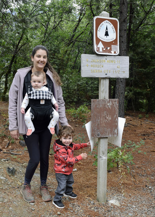
When the weather finally cleared, we left the cabin. Remnants of the summer storm lingered in opaque puddles and trees that glittered in the sunlight. We parked along Highway 49 where the PCT intersects with the highway. Signs pointed the way to the falls.

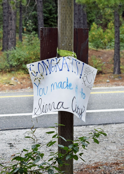
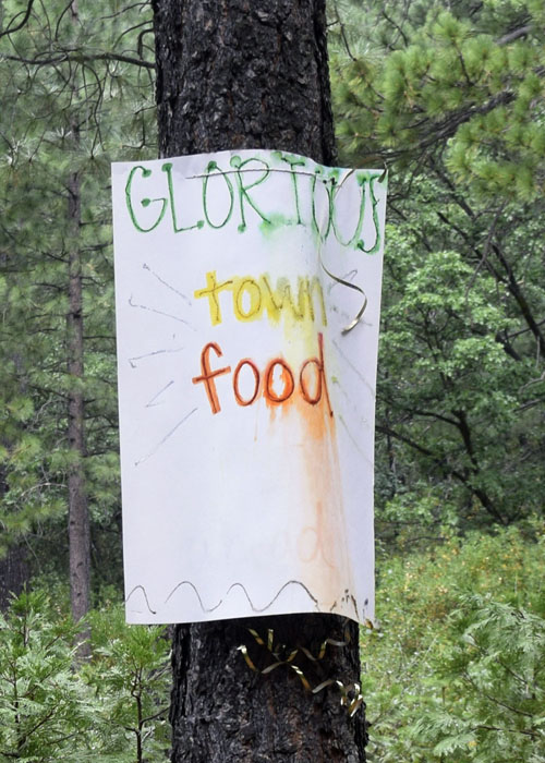
There were also home-made signs, worn and faded from the rainfall, encouraging northbound PCT hikers who were nearing Sierra City.

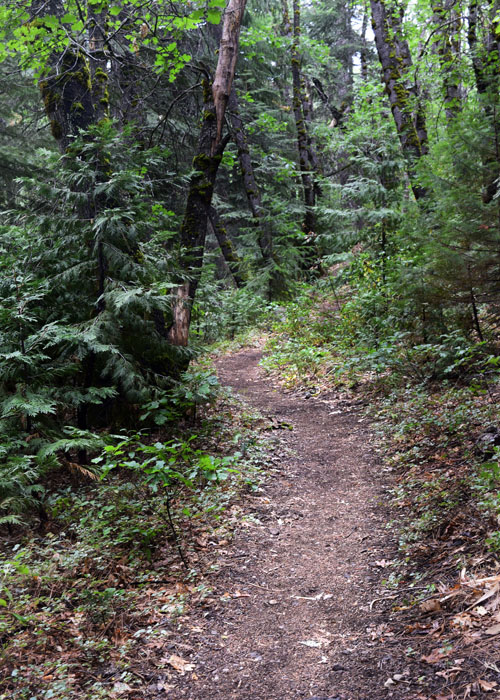
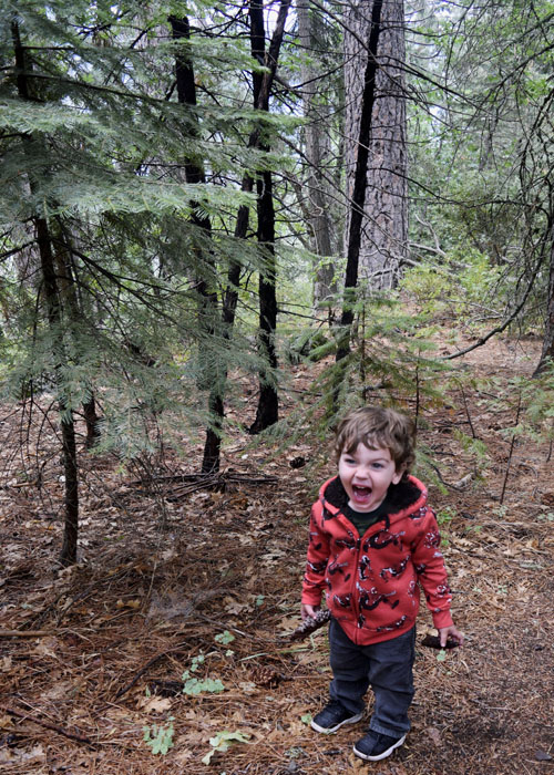
After the rain, the forest was pungent and rich with scent. It was so humid that my glasses and camera lens fogged over. I stopped to dry them while little Luke picked up pieces of damp pinecones.
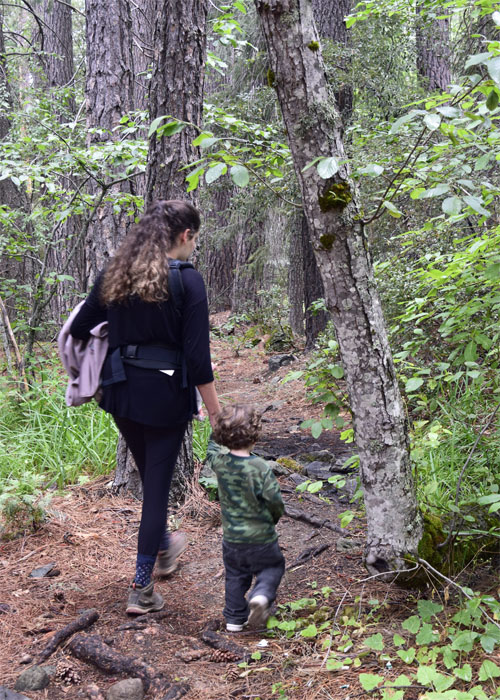
He remembered pine drops from our earlier hike and learned tree roots on this adventure, as there were many of them to walk over.
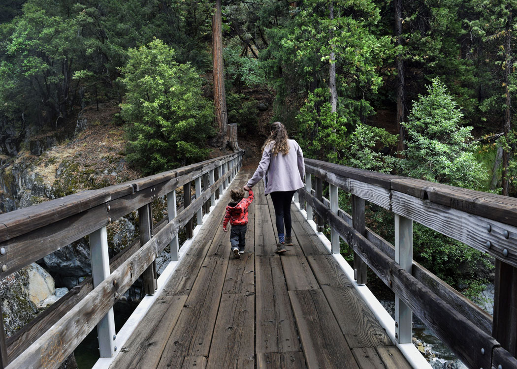
Loves Falls consists of three cascades on the North Yuba River. The falls were named because of a large heart-shaped boulder that sits in the water under the bridge.

The Sierra County Visitors Guide said, “Loves Falls are spectacular and a must-do hike.” However, the water was low this time of year making it less spectacular than normal, but still pretty.

The bridge was our turnaround spot, but Luke wanted to continue walking perhaps all the way to Mexico.
After he walked to the end of the bridge and back, we reentered the sultry forest. The sound of the river grew quieter until it could not be heard at all. Like this hike, our vacation was nearing an end. We had one more day before it was time to go home. Sarah and I would try our big hike tomorrow.