August 17, 2016
South Tufa Trail at Mono Lake, Mono County
Total distance walked: .08 mile
Thirteen miles from the eastern entrance of Yosemite lies the tiny town of Lee Vining in the Mono Basin area. After a three-hour drive Chris and I spent the day there sightseeing. We stopped at Whoa Nellie Deli for lunch, had soft serve ice cream at Mono Cone, dipped our feet in June Lake, and toured the Scenic Area Visitor Center.

I was fascinated with what we learned about the geology and history of Mono Lake. It is one of the oldest lakes in North America and the second largest lake in California.

It is fed by a natural flow of freshwater streams and has no outlet other than evaporation. This creates a very salty lake. Currently it is ten percent salt; comparatively, the ocean is three percent salt. There are no fish in the lake, but there is brine shrimp. Commercial fishermen collect the brine shrimp to make tropical fish food.

We wanted to taste the water, but flies coated the surface, and it smelled like sulfur, so we decided against it.

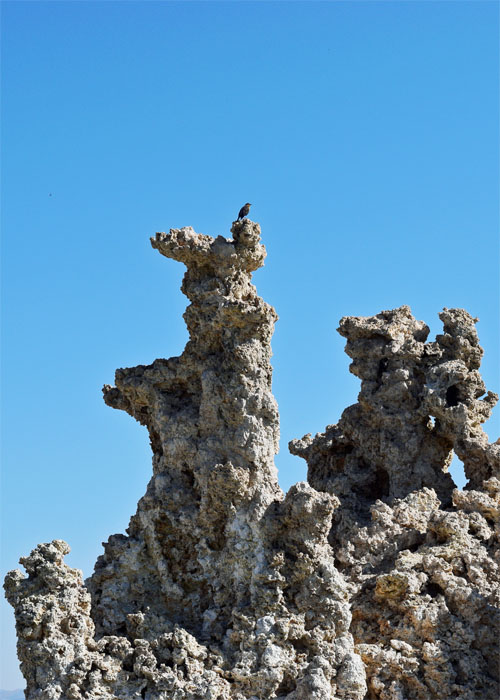
The black alkali flies feed on the green algae that grows in the lake. When we touched the water, they buzzed around, not concerned at all with us, then quickly settled back down to eat. Birds including California gulls and black birds eat the flies. Interestingly, if you happen to see a gull at a beach in California, quite likely it was born at Mono Lake.
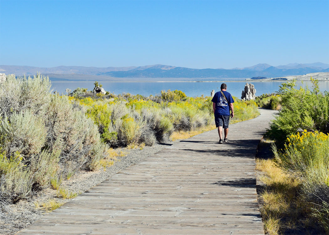
The following morning, we visited the State Natural Reserve on the southern end of the lake to see the tufa. Though it was early, the heat of the day was beginning to set in.
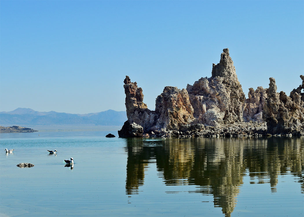
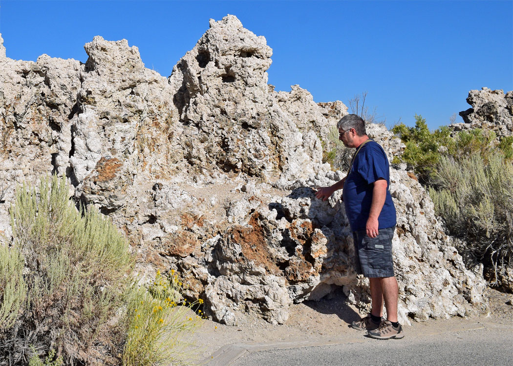
Tufa are limestone formations that were created underwater when calcium-rich spring water mixed with carbonate-rich lake water. We were able to see spring water bubbling up into the lake, maybe a future tufa in the making.
In 1941, the lake level reached an elevation of 6,417 feet. At that time the Los Angeles water department began diverting the creeks that fed the lake causing a significant drop in water level. That is why so many of the tufa are now above ground.

In 1994, the California water board ordered that the lake be protected and refilled. Currently, Los Angeles is not diverting water from the streams which is allowing the lake to slowly increase in volume.
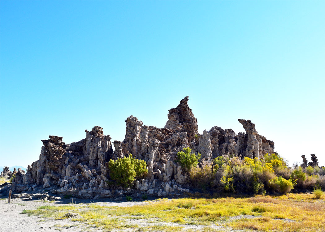

Walking through the eerie grove of twisted tufa columns was like walking on another planet. The scent of sulfur and sage brush that hung in the air added to the surreal feeling.

Maybe someday the tufa will be underwater again, but probably not for a long time.

We followed the sandy trail back to the car and headed home. There is so much more to see in the Mono Basin area, that we will have to return for another adventure.

